Rawalpindi, Pakistan

About Us
WebSpider is a full-service digital agency delivering web development, SEO, branding, and enterprise CRM solutions to empower businesses globally.
WebSpider is a full-service digital agency delivering web development, SEO, branding, and enterprise CRM solutions to empower businesses globally.
Rawalpindi, Pakistan


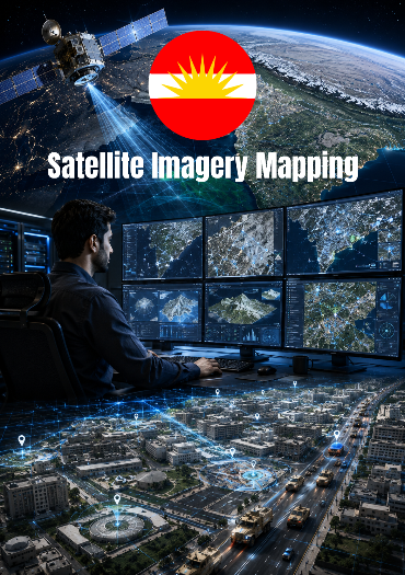
In 2011, Web Spider successfully completed a specialized geospatial mapping project for Military Engineering Services (MES), 10 Corps, providing some of the highest-resolution digital maps available in Pakistan at the time.
The objective was to create detailed bird's-eye-view imagery covering extensive operational and administrative areas. Satellite imagery was collected from multiple commercial imagery providers and assembled into large-scale seamless mosaics.
The project involved processing and stitching thousands of individual satellite image tiles into unified high-resolution maps. Exceptional attention was given to ensuring that roads, buildings, terrain features, and urban infrastructure remained perfectly aligned across tile boundaries. The final mosaics were engineered so precisely that image joins remained virtually invisible even under significant zoom levels.
At the time, such high-resolution geospatial datasets were rarely available within Pakistan. Some completed city-wide mosaics occupied several gigabytes of storage, representing one of the country's most detailed digital mapping resources of that era.
The resulting imagery supported planning, infrastructure assessment, land management, visualization, and geographic analysis activities by providing a comprehensive aerial perspective of operational regions.
High-Resolution Satellite Mosaics
GIS-Ready Imagery Processing
Seamless Tile Stitching
Urban Infrastructure Mapping
Road & Building Alignment Verification
Large-Scale Aerial Visualization
Geospatial Data Processing
Digital Terrain Observation
Mapping Quality Assurance
Multi-Gigabyte City-Wide Imagery Datasets
Satellite Imagery Processing
GIS Mapping Techniques
Remote Sensing
Digital Cartography
Image Rectification
Geospatial Data Integration
Large Format Image Stitching
Precision Mapping Workflows
Developed for MES (10 Corps)
One of Pakistan's earliest ultra-high-resolution mapping initiatives
Seamless city-scale satellite mosaics
Advanced GIS and cartography techniques
High-detail aerial visualization
Large-scale geospatial data processing
Precision infrastructure mapping
Web Spider created high-resolution satellite mosaics for MES 10 Corps by stitching thousands of imagery tiles into seamless GIS-ready maps.
Client :
Project :
Category :
Client :
Date :